- Home |
- Why With Us |
- About Us |
- Booking |
- Contact Us |
- Site Map
- Home
-
Nepal
-
Trekking
- Arun Valley with Gokyo Lakes
- Everest Base Camp Trek
- Everest- A Living Culture Exploration
- Everest Explore
- Everest Base Camp (via Thame) Trek
- Everest Base Camp with Kala Patthar
- Everest Comfort Trek
- Everest High Passes with Ama Dablam Base Camp
- Everest Mani Rimdu Festival Trek
- Everest Nagpa La Trek
- Everest with three high passes
- Gokyo Ri, Chola Pass & Chukung Ri with Kala Patthar
- Gokyo with Everest Base Camp
- Jomsom - Muktinath
- Jomsom - Muktinath
- Khayar Lake Trek
- Manaslu and Tsum Valley with Larkya La
- Upper Mustang Trek
- Manaslu High Circuit
- Manaslu, Tilicho Pass & Upper Mustang
- Annapurna Base Camp Trek
- The Annapurna Circuit Trek
- Annapurna Panorama
- Nar and Phu Valley Trekking
- Nepal Rhododendron Trek
- Royal Trek
- Saribung Trek and Expedition
- Annapurna Sanctuary Trek
- The Annapurna Sunrise Trek
- Expedition
-
Rafting
-
Peak Climbing
-
Tours
- Kathmandu-Chitwan-Jungle Tour with visit to Pokhara
- Dawn to Dusk Tour
- Historical, Natural & Cultural Tour with Camping
- Kathmandu Valley Temple Tour
- Temple - Panorama - Jungle Tour
- Taste of Nepal
- Central Nepal Tour
- Explore Nepal Tour & Trek
- Nepal Cross-country Tour
- Best of Nepal Tour & Treks
- Kathmandu valley rim Tour & Treks
- Nepal Culture Tour
- Introduction to Nepal Tour & Treks
- Nepal at a glance Tour & Treks
- Wonders of Nepal Tour & Treks
- Glimpses of Nepal Tour & Treks
- Through the Silhouette Tour & Treks
- Tent and Temple Tour
- Kathmandu-Chitwan-Pokhara Tour
- Historical, Cultural City and Jungle Tour
- Nepal Wildlife Tour
- Nepal Panorama Historical Tour
- Nepal Adventure Tour
- Nepal Pilgrimage Tour
- Ghalegaun-Ghanapokhara Homestay Tour
- Jungle Safari
- Adventure Sports
-
Trekking
- Tibet
-
Bhutan
-
India
- Yoga Tour
- About Us
-
The Great Himalayan Trail
-
Short Tours/Treks


Tinsang La
Days from
The 9-day tour through the Tinsang La contains many cultural highlights (like the woman monastery Bigu Gompa) and leads through beautiful rhododendron forests.
| Number of days : 9 Days | High camp : 3350m |
| Highest altitude : 3815m | : |
The 9-day tour through the Tinsang La contains many cultural highlights (like the woman monastery Bigu Gompa) and leads through beautiful rhododendron forests. A mountain pass, the Tinsang La (3350 m) and at the top, the 3815 meter high Yerse provide a breathtaking view of the Rolwaling Himal.
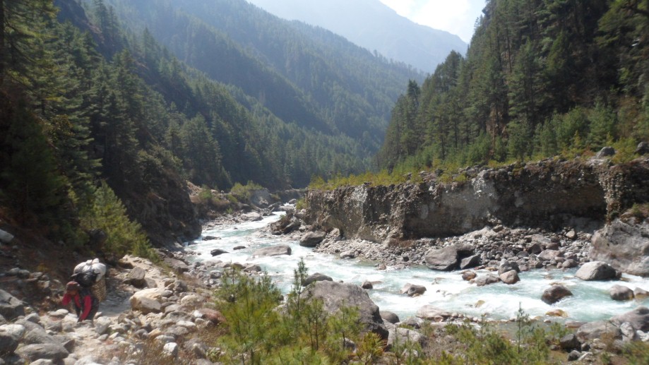
The bus will take us from Kathmandu to Dholaka, where we will descent the following day more than 500 meters to the Bhote Kosi. Until Shigati the path leads between beautiful rice fields and typical Nepalese villages. We cross many rivers with different types of suspension bridges. During the tour, there is ample opportunity to see the villages. The route leads through the western slope of the Danda Gyalsung via Bulukpa to Khartali. We descend to the river, from where it goes uphill again to Bigu Gompa, a woman monastery that is worth a visit. Through extensive rhododendron forests (flowering period is February-March) we climb to the highest point of the trek: the Tinsang La. From this mountain col we have a magnificent view of the Rolwaling Himal. The path of the La Tinsang to Barabise is sometimes steep, but passable. In Barabise, the bus awaits to take us back to Kathmandu.

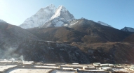
Day 1: From Kathmandu we drive by bus along Bhaktapur over the Arniko Highway (in Tibet) and along the Sun Kosi (river Kosi =) through the market town of Charikot to Dolakha (1700 meters). It is a nice village with the Hindu temple Dholakha Bhimsen overlooking the holy Gauri Shankar (7145 meters).
From here we descend 950 meters to our campsite Malephu / Rato Mate (= red clay) on the Dolti Khola, which flows into the nearby Bhote Kosi. The descent to the river is beautiful, occasionally over a staircase made of clay and stone blocks. We pass through many villages. At the river we cross the first suspension bridge. After the suspension bridge is a beautiful camping site. It is possible to swim in the river. (950m, 6 2 hours)
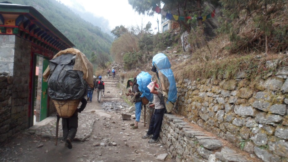
Day 2: After the wake-up call with tea and washing water we set off for the first walking day. We follow the beautiful woods on the west bank of the Bhote Khosi (= river in Tibet), which is also called Tamba Kosi. Sometimes we just walk along the river (watch out for monkeys in the river bed!) The mountain slopes are not steep and villages, rice terraces, and forests complete the friendly character of the valley. We lunch close to the Gumbu Khola, another tributary of the Bhote Kosi, near the village Biguti. Biguti is a nice village where the merchandise lies on the street. Just before Shigati we pass the office of the Development Eco Himal Project. This is an Austro-Nepalese project for development in the area.
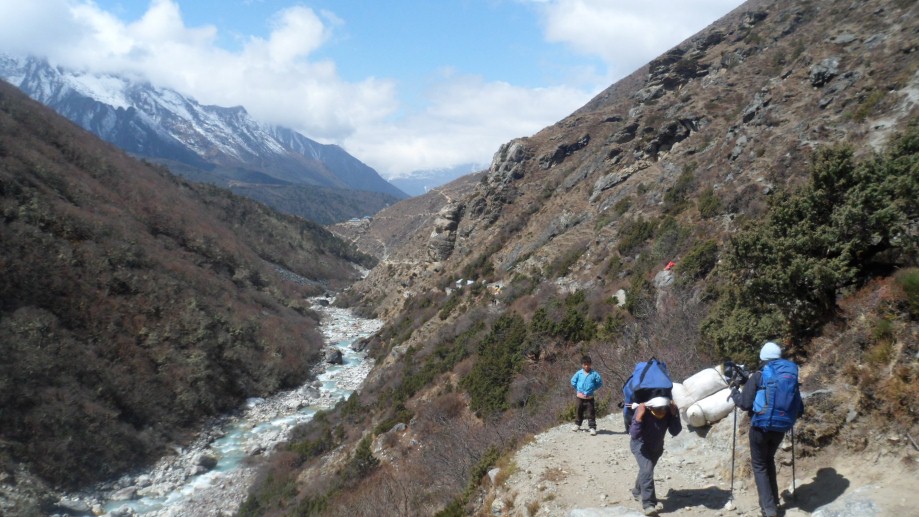
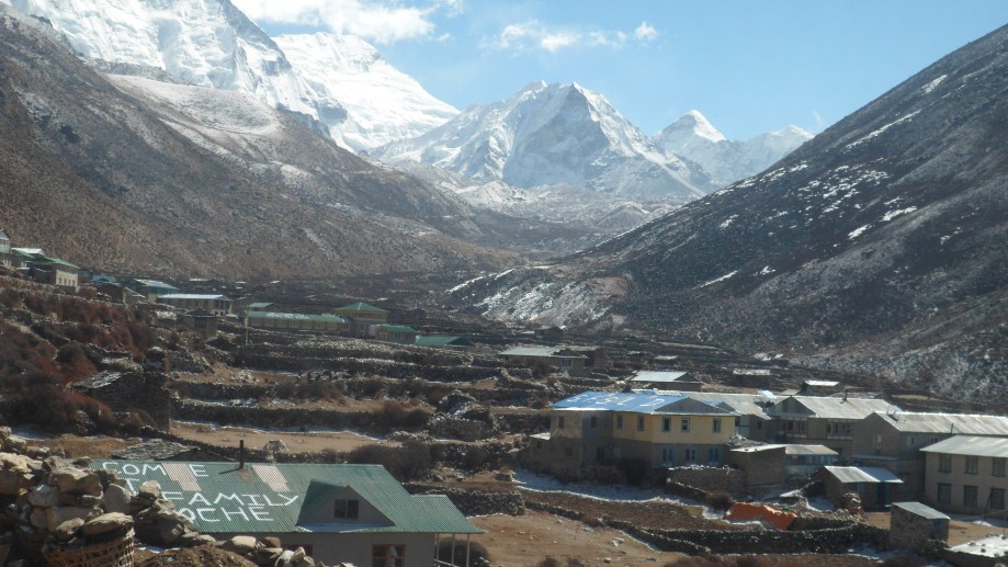
Higher during the trip we will see the Rolwaling mountains. After the suspension bridge at Shigati over the tributary Sangawa Khola we leave the valley (which runs into Tibet) and follow the path in a northwest direction to the camp site on the banks of the Sangawa Khola. (1000m, 5 hours)
Day 3: Up to the lunch spot, the path goes up and down (Nepali flat), but always along the banks of the Sangawa Khola to the suspension bridge. This stage leads through a beautiful subtropical forest. Slowly we walk upstream to the lunch spot at an altitude of about 1350 meters. Sometimes we pass friendly and cheerful monks on their way to and from Bigu Gompa, which we will visit a few days later.
After lunch we go over the suspension bridge and then directly up long steep stone stairs to about 1700 meters. At this height, the path leads through terraces with views to Bulukpa and the Lapchi Kang range in the north. In the distance we already can see Bigu Gompa.
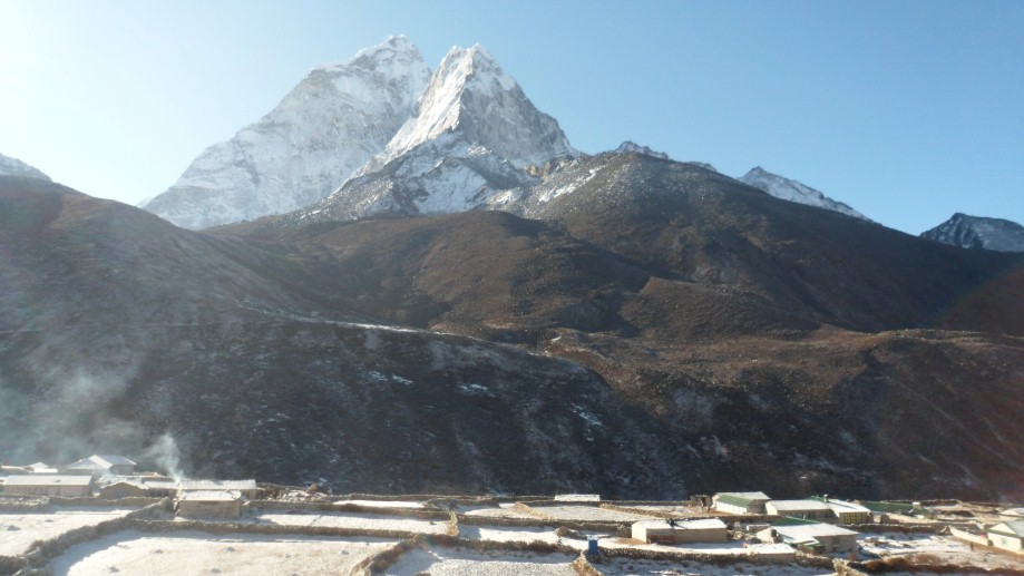
The campsite is situated on a beautiful location on the shore, near the place of confluence of the Amatal Khola in the Sangawa Khola and a beautiful view of the Ama Bamare in the north. (1700, 8 pm)
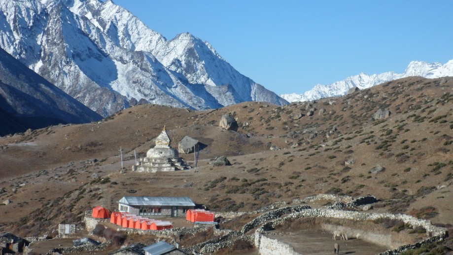
Day 4: At sunrise we enjoy a beautiful light show on the flanks of Ama Bamare and surrounding mountains. After we descend to the suspension bridge over the Sangawa Khola we are back in the village Amatal. Then we follow the 'Nepali flat' path to the suspension bridge over the Amatal Khola. After the suspension follows a steep path up. Sometimes via stone stairs, through terraces, and through rice, millet and maize fields. The higher we get, the better the views of the beautiful surroundings, but from Amatal we cannot see Bigu Gompa. Then, at an altitude of about 2500 meters, the landscape is slightly flatter and we see the gompa with its buildings, surrounded by low walls.
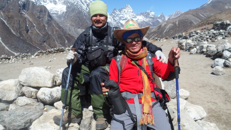
The afternoon can be used to visit the women's monastery. The nuns are very nice when visitors come. It is also possible to attend a service too (3x per day, do not forget the donation box). This is an impressive experience, the sounds of the long trumpets, horns, flutes and drums shell and reading mantras will not soon be forgotten. (2600m, 3.5 hours)
Day 5: Day at leisure or self exploration.
Day 6: From the gompa we go down through a steep downhill path to Rupthang (2300 m) and from there up to the Tinsang La. For the last time in this valley we cross a suspension bridge over the Amatal Khola (2300m). After the bridge, we can see the Numbur in the west southwest.
After the gradual descent to the riverbed begins the climb to the Tinsang La. The path passes through a subtropical forest with much bamboo. About ten years ago, a fierce fire raged. Unfortunately, nature is slowly recovering ...
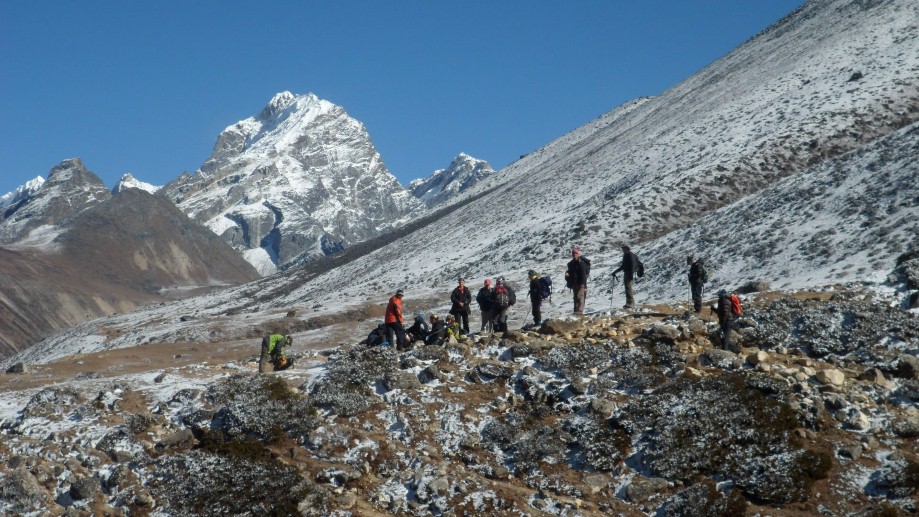
From the lunch spot in the forest near a river, we start climbing. From our camp on top of the Tinsang La we have a beautiful view at sunset over the Rolwaling range in the east: from the Gauri Shankar to the Numbur. (3350m, 6 hours)
Day 7: On the ridge of La Tinsang we go on to the top of the Yerse (3815m). A good path to the saddle, then a zig zag up to the top (2 hours). On the Yerse we have a superb view: overlooking Langtang, the Shisa Pangma, the Chobo Bomara, the transition to Tibet, Gaurishankar and over the shoulder of this mountain we see the flat summit of Cho Oyu. After this morning trip we descend in 1 hour and 15 minutes to the camp. After lunch we descend steep, later on gradually down to the campsite at Dholangse. (2400m, 4 hours 3)
Day 8: Beyond the Gompa of Dholangse we walk to the west over two mountain ridges and cross two tributaries of the Sun Kosi. In Pading is a beautiful bridge and a high waterfall. We lunch in a rice field near three small watermills. After lunch we continue through villages and rice paddies. It is not a heavy stage and after almost 3 hours we arrive at the Batas Danda (Danda = ridge), a beautiful camp site high above Simle. At night, the tips can be handed to the porters and staff, followed by a party with local drink, song and dance ... (2300m, 4 hours)
Day 9: Today we descend to the busy village of Barabise. Our bus to Kathmandu will pick us up and in 4 hours we are back in the capital. (900m, 1.5 3 hours).


Trekking in Nepal
Expeditions In Nepal
Rafting in Nepal
Tours in Nepal
Some of the world's best known organizations, famous writers and travel magazines recommend us
![]()
![]()
![]()
![]()
![]()
![]()
All rights reserved.